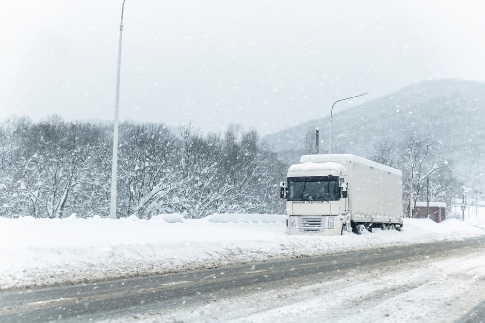
The UK is facing another cold day, with temperatures dropping as low as -1C in some regions. According to the Met Office, the coldest areas will be in Scotland and northern England, where snow is possible on higher ground. Meanwhile, southern England will experience slightly warmer conditions, with temperatures ranging between 2C and 5C.
Weather Warnings Issued for Parts of the UK
The Met Office has placed a yellow snow and ice warning for parts of northern England. This warning began at 6 AM today and will remain in effect until 2 PM this afternoon. People in these areas should be prepared for slippery roads, icy conditions, and possible travel disruptions.
Additionally, the UK Health Security Agency (UKHSA) has issued a cold weather alert for the northeast of England, Yorkshire, and the Humber. Health officials warn that exposure to cold temperatures can pose risks, especially for the elderly, young children, and people with pre-existing health conditions.
Rare Freezing Rain Phenomenon Expected
One of the most significant concerns is the possibility of freezing rain, a rare weather event in the UK. The Met Office has warned that this phenomenon could affect parts of the Pennines, leading to hazardous conditions on roads and pathways.
Freezing rain occurs when liquid precipitation hits a cold surface and freezes instantly, creating a layer of ice. While it can produce stunning visuals, it also poses dangers. Heavy freezing rain can lead to fallen trees, broken power lines, and treacherous driving conditions.
The Met Office explained:
“The conditions needed for freezing rain are quite specific, and we do not see this phenomenon very often in the UK. It can produce striking effects, as the raindrop spreads out momentarily before freezing, creating a layer of clear ice.”
Even a thin layer of freezing rain can turn roads into virtual ice rinks, making walking and driving extremely dangerous. Authorities are advising motorists to avoid unnecessary travel in affected areas.
What to Expect for the Rest of the Weekend
Met Office Chief Meteorologist Matthew Lehnert provided insights into the weekend forecast:
- Saturday: Rain will move eastward, encountering colder air, which means snowfall is likely in parts of northern England. The Cheviots and North York Moors could see snow accumulations of 2–5 cm, with some snow possible at lower levels.
- Freezing rain could affect higher parts of the Pennines, leading to icy conditions.
- Some snow could fall outside the warning area, but in small amounts.
- Sunday and Monday: Cold air will remain in place, keeping temperatures low across much of the country.
Southern England will experience mostly dry but cloudy weather, while northern regions will see continued rain, drizzle, and some hill snow. By Tuesday, brighter skies with sunny spells will appear in many areas before milder and unsettled weather moves in from the Atlantic later in the week.
London’s Weather Outlook
London is set to have a cloudy morning, followed by rain from 1 PM until 9 PM, according to the Met Office. Temperatures will peak at 5C, making it a cold and wet day for the capital.
On Sunday, London will remain cloudy but mostly dry, with some short-lived bright spells possible in the morning. Temperatures will once again reach a high of 5C.
How to Stay Safe During Cold Weather
With freezing temperatures gripping the UK, it’s essential to take precautions:
- Wear warm clothing in layers to trap heat.
- Be cautious on icy roads and avoid unnecessary travel in affected areas.
- Check on vulnerable individuals, such as elderly family members and neighbors.
- Use grit or salt on driveways and sidewalks to prevent falls.
- Ensure homes are heated properly to avoid health risks from the cold.
Recent Cold Weather Incidents in the UK
This winter, the UK has already faced several cold-related incidents. Just last month, heavy snowfall caused major travel disruptions in Scotland, leaving hundreds stranded. Similarly, an icy spell in northern England led to multiple accidents on untreated roads, prompting emergency services to urge drivers to stay off the roads unless absolutely necessary.
Experts warn that extreme winter weather events could become more frequent due to climate change. Sudden temperature drops, along with heavier snowfall and ice storms, are increasingly becoming part of the UK’s winter season.
Looking Ahead
Weather conditions are expected to improve slightly by mid-next week. Warmer temperatures and more unsettled weather from the Atlantic will push the cold air out, bringing rain instead of snow in most areas.
Stay updated on the latest weather reports and alerts at Coleman News.


